tmp
CCGS Amundsen 2025 leg 02
Ongoing - Updated Page (UTC) 2025/07/19 00:03

CCGS Amundsen 2025 leg 02
Ongoing - Updated Page (UTC) 2025/07/19 00:03
| Mapping |
|---|
| Last Science Events (In the last 24h) | ||||
|---|---|---|---|---|
| Time | Station ID | Station Type | Activity | |
| 2025/07/18 18:11 | Hopedale | CTD Rosette | ||
| 2025/07/18 12:40 | Transit | Transit | Transit | |
| 2025/07/18 11:20 | Makkovik | Full + Mooring | Mooring | |
| 2025/07/18 09:35 | Makkovik | Full + Mooring | CTD Rosette | |
| 2025/07/18 08:33 | Makkovik | Full + Mooring | Box Core | |
| 2025/07/18 07:31 | Makkovik | Full + Mooring | Box Core | |
| 2025/07/18 05:19 | Makkovik | Full + Mooring | IKMT | |
| 2025/07/18 04:22 | Makkovik | Full + Mooring | Tucker Net | |
| 2025/07/18 02:42 | Makkovik | Full + Mooring | ROV | |
| 2025/07/18 01:24 | Makkovik | Full + Coring + Mooring + ROV | CTD Rosette | |
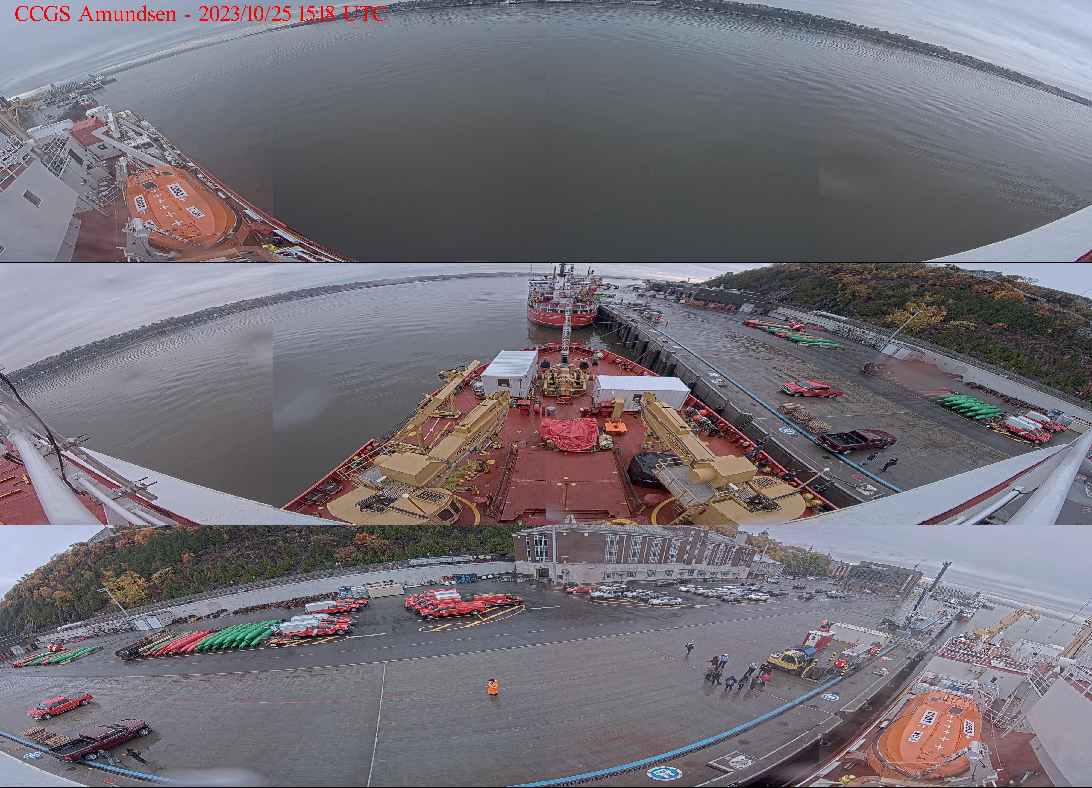
| Mosaic image from 360° camera on the CCGS Amundsen |
|---|
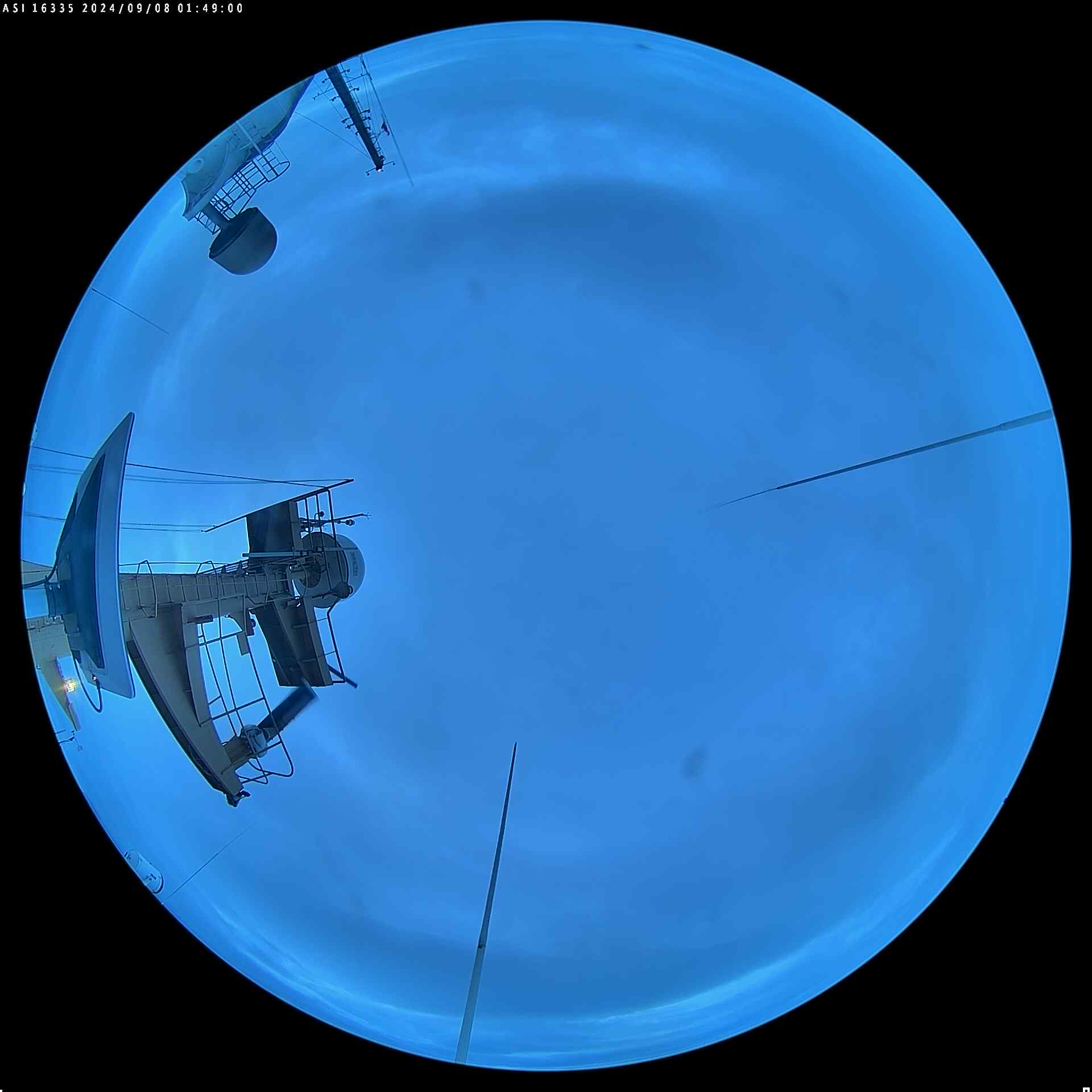
| Image from AllSky camera on the CCGS Amundsen |
|---|